WXlog/20160524 LMA
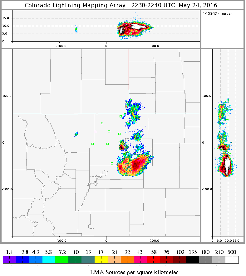
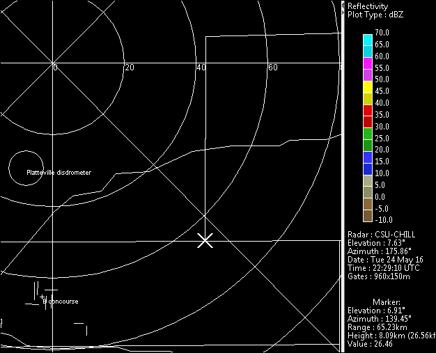
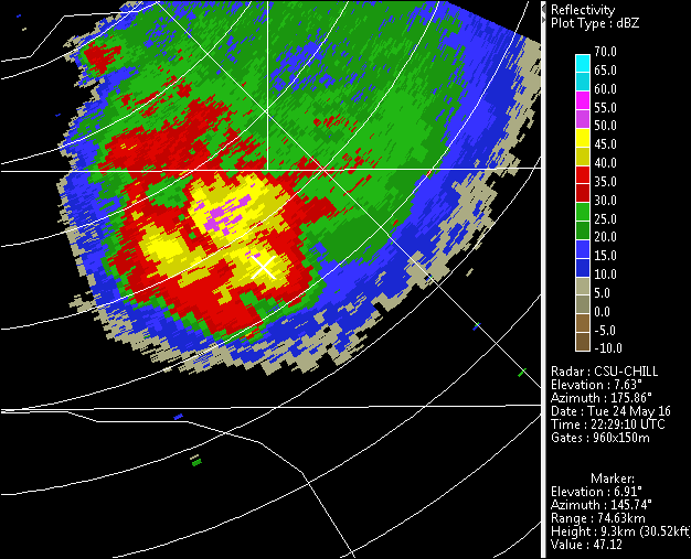
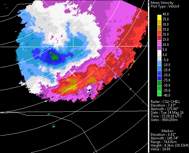
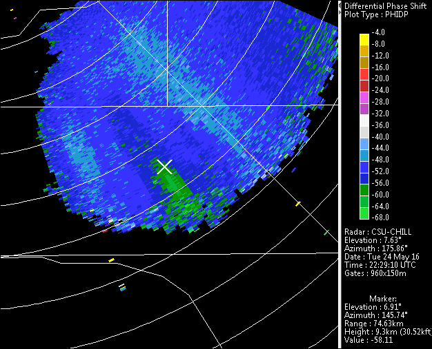
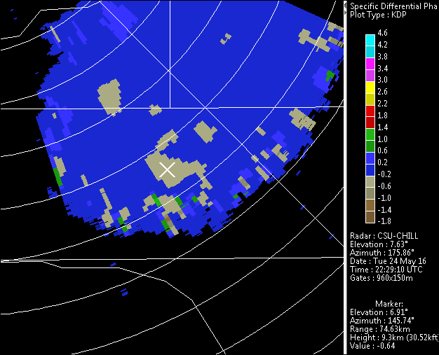
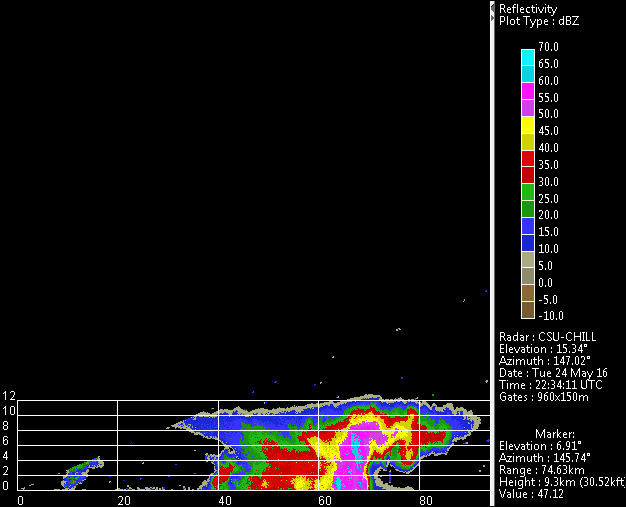
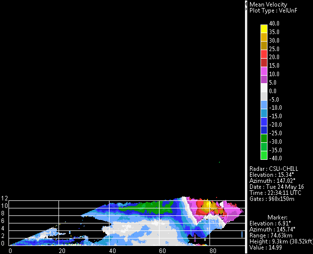
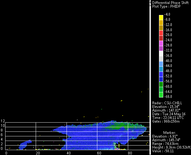
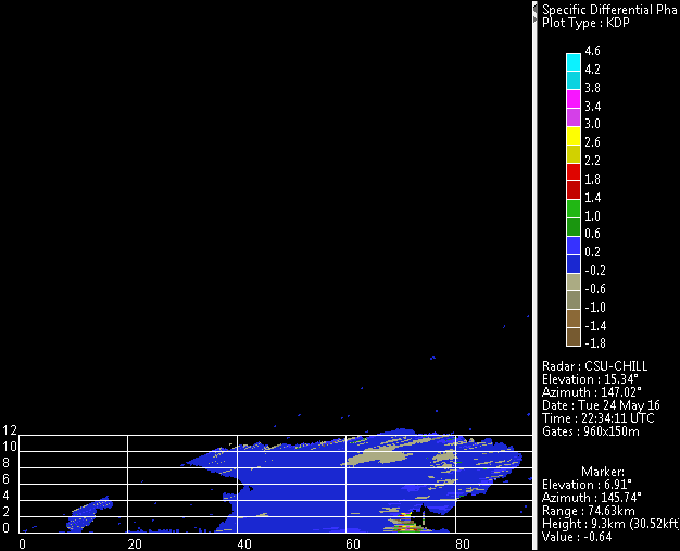
An isolated severe thunderstorm produced considerable lightning discharge activity as detected by the Northern Colorado Lightning Mapping Array (LMA) network on 24 May 2016. The LMA plot shown below gives the discharge density during the 2230 - 2240 UTC period. At this time, the lightning activity was centered roughly south of the triple point formed by the intersection of Weld, Morgan, and Adams counties. (See the cursor in the blank VCHILL base map plot.) The height profiles along the top and right sides of the LMA plan view show that many of the high discharge densities were found near the 10 km MSL height level. The PPI plots show data from a sweep through the ~9 km AGL / 10.4 km MSL level near the start of the 10 minute LMA data period. The unfolded radial velocities in the PPI data contain a well-defined divergence pattern associated with the storm's updraft. Ice particle collisions in the updraft are critical to the charge separation process. The differential propagation phase and Kdp data indicate the presence of the quasi-vertical ice crystal orientation that develops where the charged particle spatial distribution produces a strong, vertically-oriented electric field. The generation of these electric fields drives the intense discharge activity detected by the LMA network. The final series of RHI plots were taken in a scan ~5 minutes later. The storm maintained the Weak Echo Region (WER) structure and vertical field indications. Additional information on some dual wavelength characteristics of this storm at an earlier time (~2200 UTC) are available in a CHILL web article here.
