WXlog/20090626 Heavy Rain
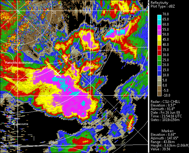
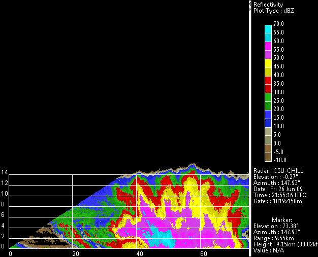
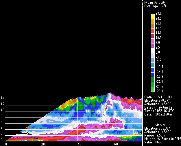
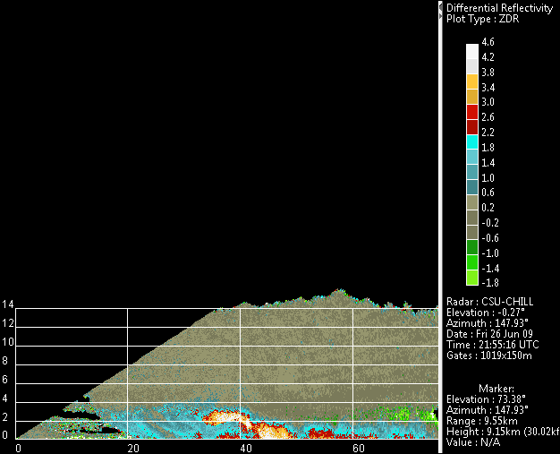
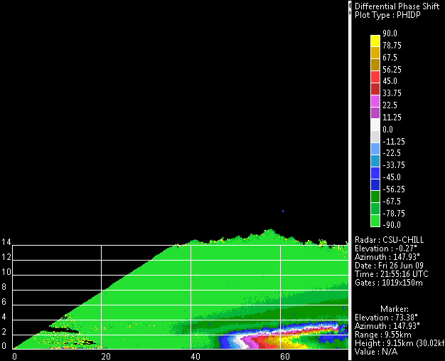
Several gust front collisions resulted in a horizontally extensive area of thunderstorm activity centered ~50 km southeast of CSU-CHILL. The radial velocity pattern in an RHI scan through the center of this precipitation area showed that the convective system was ingesting moist surface air in the ~20 - 30 km range interval. Large positive Zdr values aloft in the inflow area and at the surface near 45 km range were probably due to water coated graupel / small hail. At near surface levels, the long signal path through heavy rain caused differential propagation phase accumulation to go through through the full 180 degree (-90 to +90) range available in the alternating HV polarization mode. (Radial velocity estimates are incorrect after the phidp roll over beyond ~63 km range.)
