WXlog/20090625 Multicell Thunderstorm
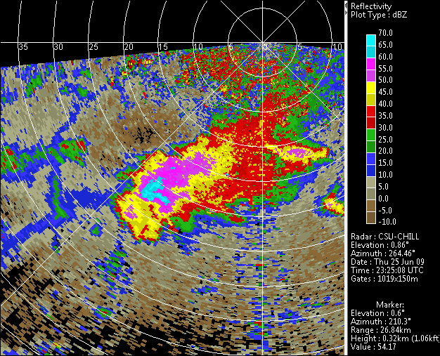
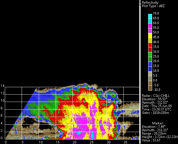
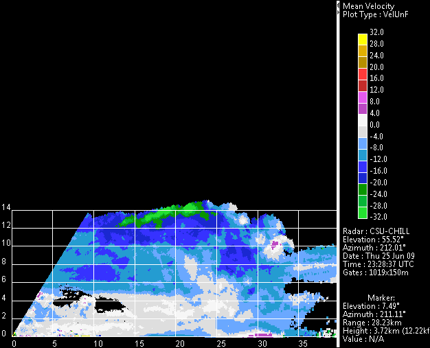
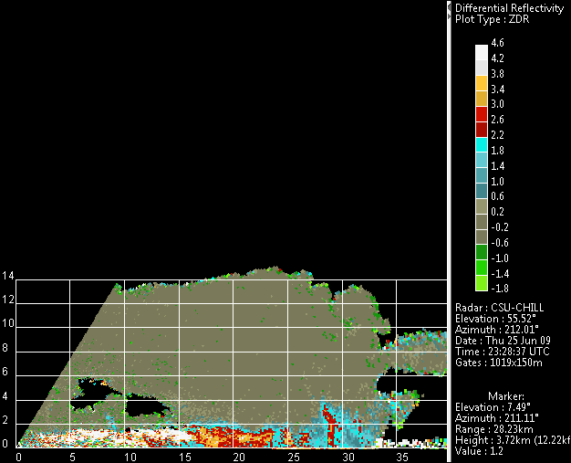
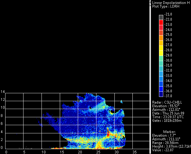
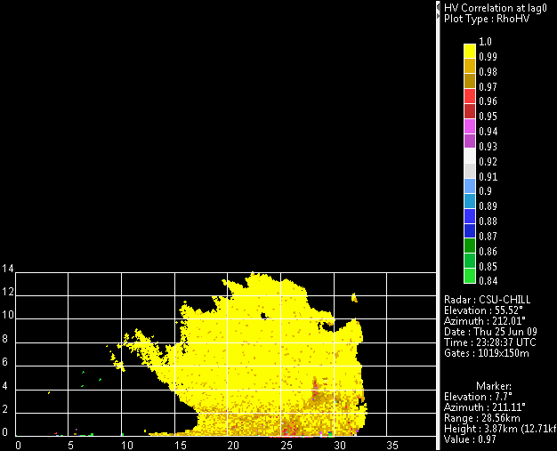
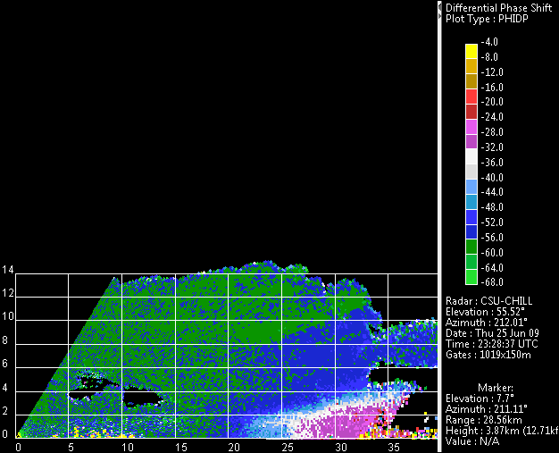
An isolated, multicell, non-severe thunderstorm occurred near the CSU-CHILL radar while the performance of the dual offset feed antenna was being evaluated on 25 June 2009. At the time of the PPI scan shown below, the storm had been present at low elevation angles for ~35 minutes. The RHI scans on an azimuth of 212 degrees show many aspects of the thunderstorm system's organization: New cell development was taking place at the southwestern (far range) end of the echo complex. The dual polarization data fields contain evidence of rapid hydrometeor growth within an updraft near ~28 km range, height 3 - 4 km AGL (positive Zdr column, LDR cap, lowered correlation coefficient etc.) The radial velocities showed surface divergence associated with the reflectivity core centered at ~26 km range. This precipitation core also shows evidence of wet, melting, small hailstones (enhanced LDR), and significant rain rates (locally increased differential propagation phase shift with increasing range.) In the older portion of the storm, at ranges less than ~23 km, the dual polarization data fields show the melting level near 2 km AGL.
