20070629 Time Variations in the Characteristics of Convective Precipitation
Time Variations in the Characteristics of Convective Precipitation.
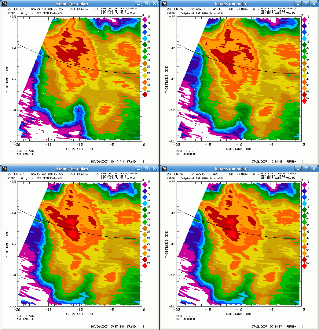
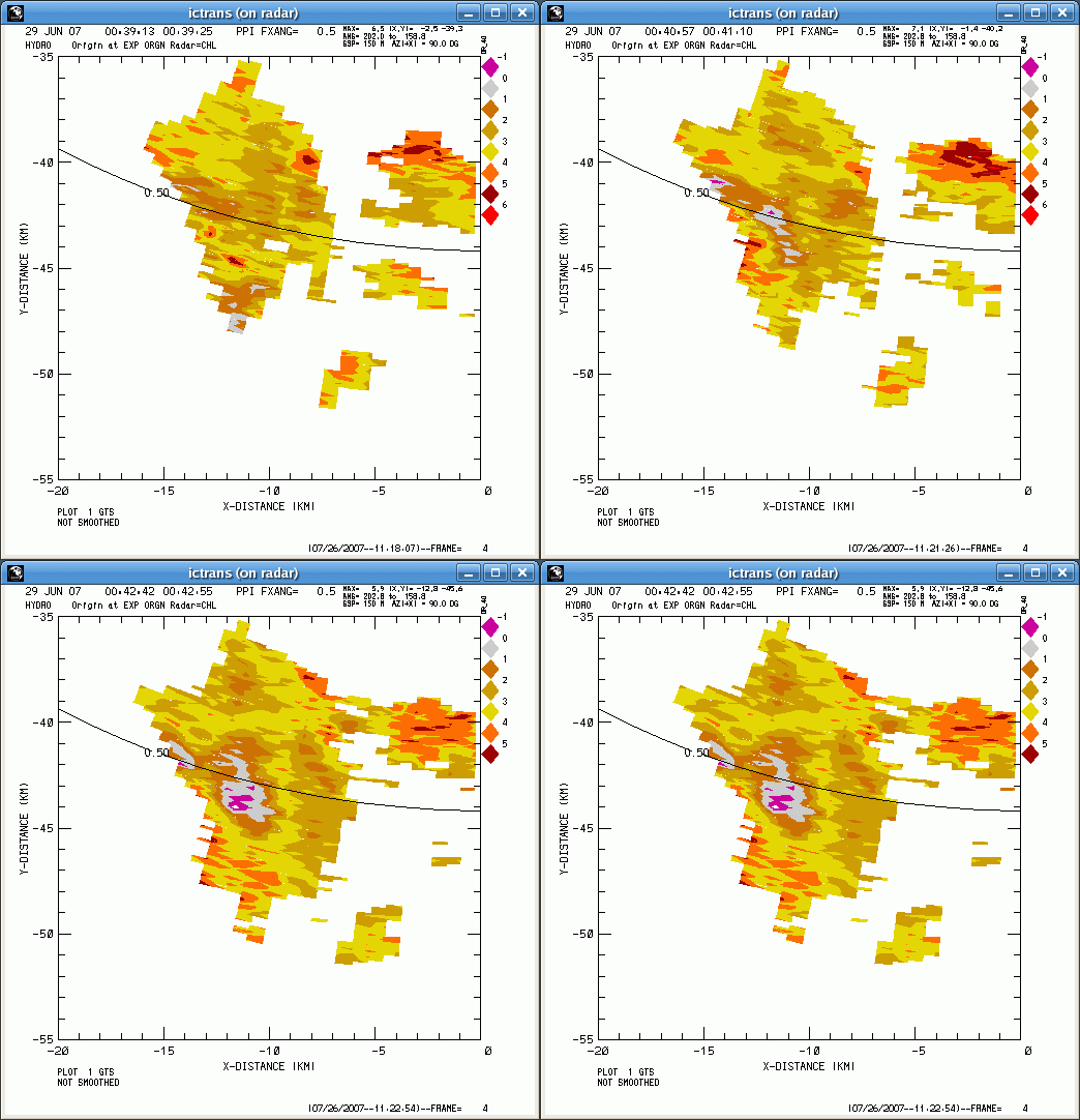
Low angle PPI sector scans were conducted by the CSU-CHILL radar while thunderstorms were in progress during the early evening hours of 28 June 2007 (29 June on UTC). While these scans were running, one precipitation core was observed to undergo a simultaneous increase in reflectivity () and decrease in differential reflectivity (). Radar echoes from hailstones are typically characterized by intense reflectivity levels along with ~0 dB (i.e., no preferential scattering particle orientations). The evolution of the 0.5 degree elevation PPI pattern is shown in the following loop. The three images cover a time span of 3.5 minutes.
Here is the corresponding sequence. (Note that 0 dB is indicated by the grey / purple color transition):
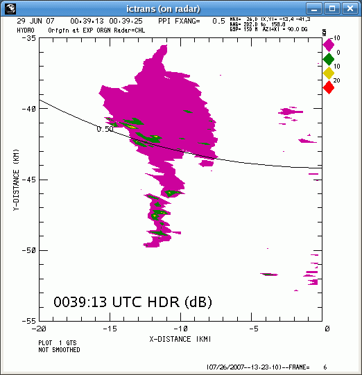
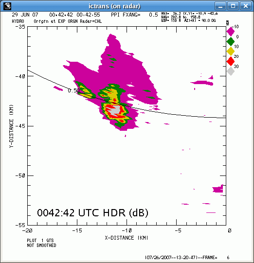
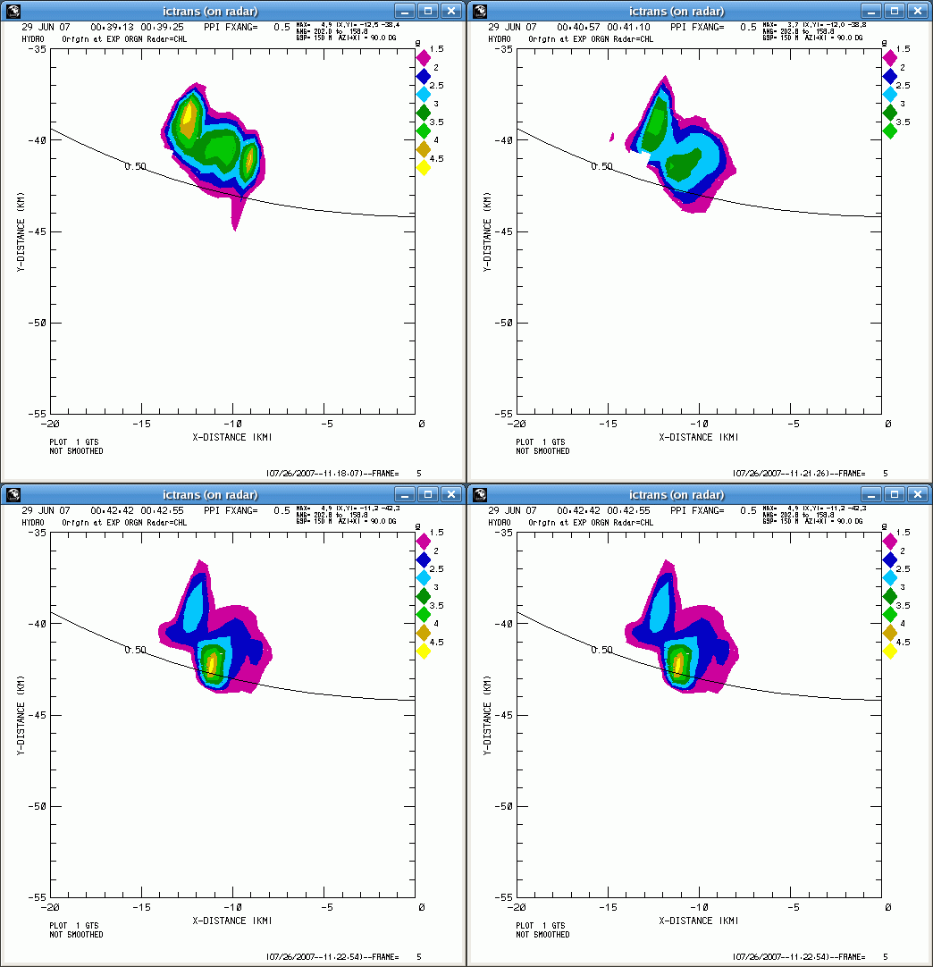
The Hail Differential Reflectivity (HDR) parameter (Aydin et al., JAM 1986) also became substantially more positive between the first and last time periods in the above image loops. (Positive HDR values indicate hail; negative values are associated with rain):
In addition to the onset of hail, the specific propagation differential phase (; degrees / km) pattern also underwent notable changes. During the 3.5 minute loop period, the northern Kdp maximum (high rain rate) fades while a new center develops near the hail shaft.
High time resolution CSU-CHILL data were continuously collected for an approximately one hour period during the early hours of 29 June 2007 (UTC basis). Analysis of the time evolution of the polarimetric radar data is ongoing.


