Polarimetric radar identification of frozen hydrometeors in thunderstorm precipitation: 6 August 2010
From CSU-CHILL
Overview

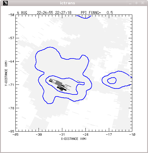
CSU-CHILL radar data indicating that both hail (positive HDR) and heavy rain (significant Kdp magnitudes) are present in a low elevation PPI sweep through a thunderstorm. A series of plots documenting the time evolution of this hail / rain mixture have been prepared.
Introduction

Hydrometeor classification loop
|
|
||
|
CSU-CHILL 2234:11 UTC 0.5 deg elevation PPI plots


KFTG 2233:01 UTC 0.5 deg elevation PPI plots

