Polarimetric radar identification of frozen hydrometeors in thunderstorm precipitation: 6 August 2010: Difference between revisions
From CSU-CHILL
Pat kennedy (talk | contribs) No edit summary |
Pat kennedy (talk | contribs) No edit summary |
||
| Line 1: | Line 1: | ||
==Overview== | |||
[[Image:6aug2010 2234 HDR Kdp anot.png|center]] | |||
CSU-CHILL radar data indicating that both hail (positive HDR) and heavy rain (significant Kdp magnitudes) are present in a low elevation PPI sweep through a thunderstorm. A series of plots documenting the time evolution of this hail / rain mixture have been prepared. | |||
==Introduction== | ==Introduction== | ||
[[Image:Anot 2234 web.png|center]] | [[Image:Anot 2234 web.png|center]] | ||
Revision as of 16:48, 24 June 2011
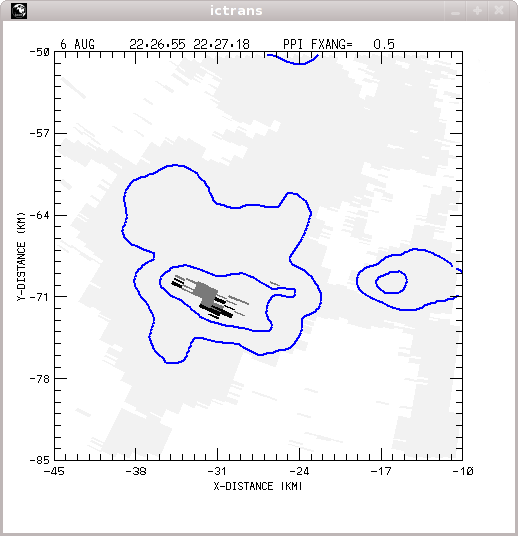
Overview

CSU-CHILL radar data indicating that both hail (positive HDR) and heavy rain (significant Kdp magnitudes) are present in a low elevation PPI sweep through a thunderstorm. A series of plots documenting the time evolution of this hail / rain mixture have been prepared.
Introduction

Hydrometeor classification loop
|
|
||
|
CSU-CHILL 2234:11 UTC 0.5 deg elevation PPI plots


KFTG 2233:01 UTC 0.5 deg elevation PPI plots

