DPWX/Snow band observations: 17 November 2015: Difference between revisions
From CSU-CHILL
Pat kennedy (talk | contribs) (Initial image posting) |
Pat kennedy (talk | contribs) (Adding front page plot.) |
||
| Line 1: | Line 1: | ||
[[Image:17nov2015 KFTG 1037 .88deg Z anot.png|300px|right]] | |||
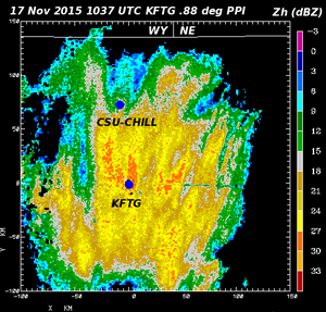
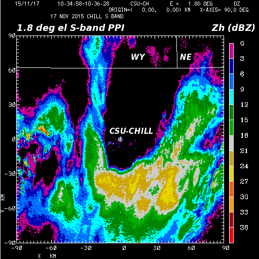
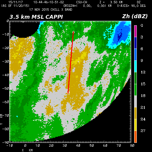
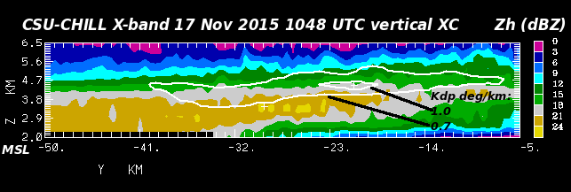
Reflectivity data from the NWS KFTG radar in a 0.88 degree elevation angle through a winter storm containing snow bands. Plots of selected CSU-CHILL radar dual-wavelength (S and X-band) observations collected from a portion of this snow band area have been prepared. | |||
[[Image:17nov2015 1.8deg DZ anot.png|center]] | [[Image:17nov2015 1.8deg DZ anot.png|center]] | ||
| Line 21: | Line 31: | ||
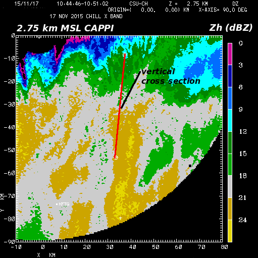
[[Image:17nov2015 XB 171deg RHI anot.png|center]] | [[Image:17nov2015 XB 171deg RHI anot AGL.png|center]] | ||
