WXlog/20170730 Heavy Rain
From CSU-CHILL
Projects
K. Reimel GLM verification 20 hr
Data Recording Period
30 July 2017 2017:33 UTC to
31 July 2017 0049:44 UTC
X-band also operating
Summary
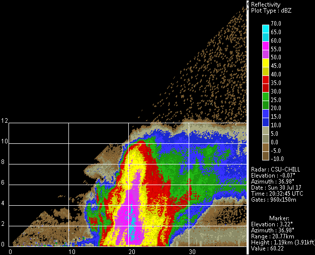
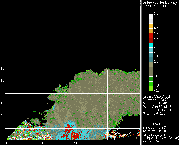
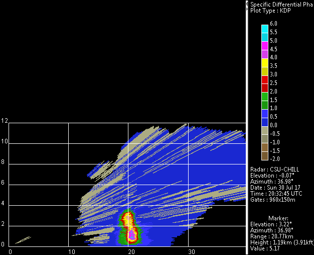
Following a remote start up of the radar, a cluster of thunderstorms was identified at short ranges (near edge ~15 km away) to the northeast. One-way Kdp levels of several deg / km were observed in these storms. This storm cluster was scanned with alternating PPI sector volumes and 4 sweep RHI volumes as it moved away to the east and southeast. At 2249 UTC, scanning was changed to rapid-update, 2 sweep PPI sector scans between azimuth limits of left=110 and right=215. The low elevation angle time history of a storm that produced local urban flooding near Federal Heights (~20 km north of Denver) was observed during this scan period.


