WXlog/20140606 Zdr column during ROSE project: Difference between revisions
From CSU-CHILL
Pat kennedy (talk | contribs) (Created page with "Developing thunderstorms within 20 km of CSU-CHILL on 6 June 2014. Summit of an elongated positive Zdr area is marked by the cursor in the the sweep shown below. This same a...") |
Pat kennedy (talk | contribs) No edit summary |
||
| (One intermediate revision by the same user not shown) | |||
| Line 1: | Line 1: | ||
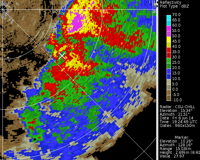
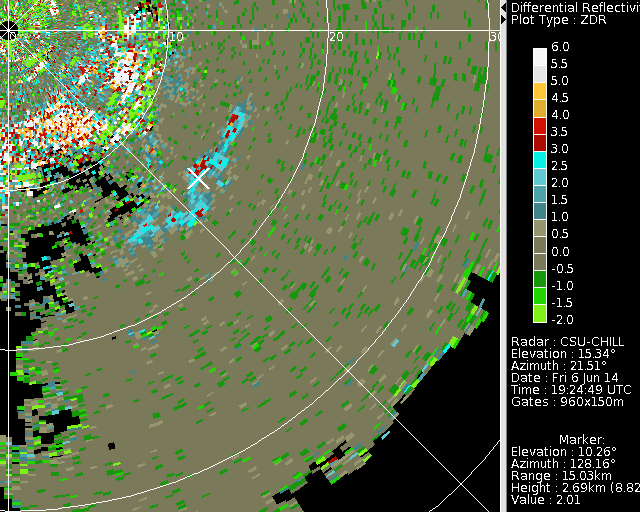
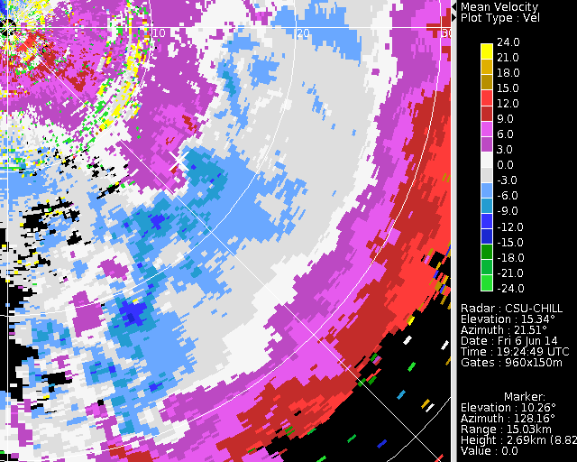
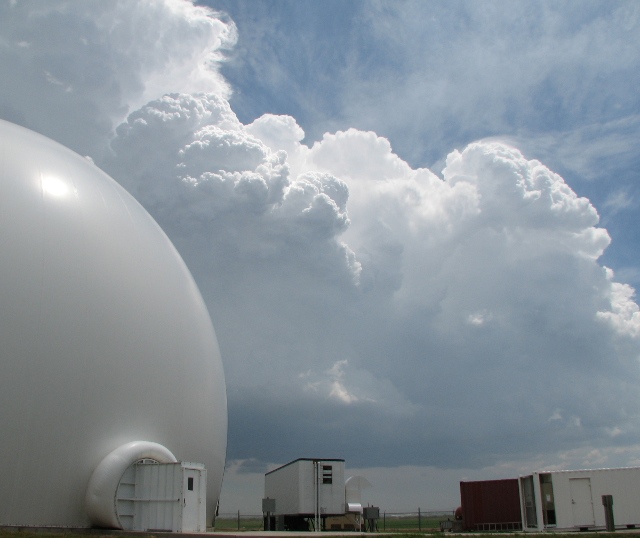
Developing thunderstorms within 20 km of CSU-CHILL on 6 June 2014. Summit of an elongated positive Zdr area is marked by the cursor in the the sweep shown below. This same area shows the radial velocity convergence pattern that is indicative of an updraft. These radar echo patterns occurred in connection with the CB's that were rapidly developing immediately southeast of the radar. | Bmark Case: Developing thunderstorms within 20 km of CSU-CHILL on 6 June 2014. Summit of an elongated positive Zdr area is marked by the cursor in the the sweep shown below. This same area shows the radial velocity convergence pattern that is indicative of an updraft. These radar echo patterns occurred in connection with the CB's that were rapidly developing immediately southeast of the radar. | ||
[[Image:6jun2016 z.png|center]] | [[Image:6jun2016 z.png|center]] | ||
Latest revision as of 16:42, 16 March 2020
Bmark Case: Developing thunderstorms within 20 km of CSU-CHILL on 6 June 2014. Summit of an elongated positive Zdr area is marked by the cursor in the the sweep shown below. This same area shows the radial velocity convergence pattern that is indicative of an updraft. These radar echo patterns occurred in connection with the CB's that were rapidly developing immediately southeast of the radar.


