WXlog/20030319 Blizzard
From CSU-CHILL
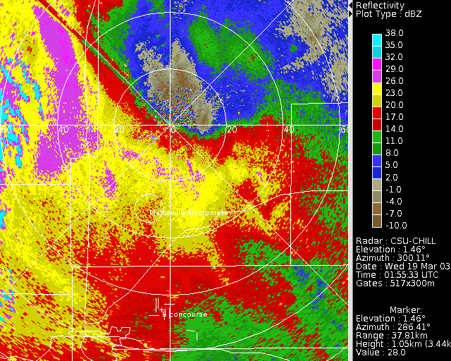
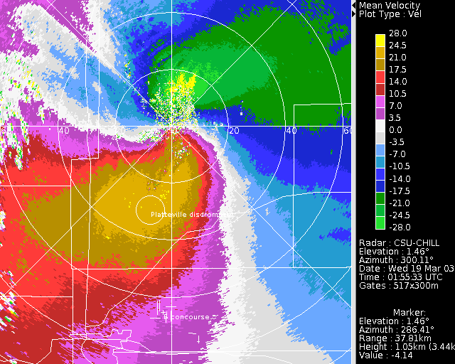
Multi-day heavy snow episode caused general transportation stoppage in the Colorado Front range area. CHILL low elevation PPI scans shown below were collected while an NWS blizzard warning was in effect. Reflectivity data has a significant snowband in the Fort Collins area next to the foothills. Radial velocity pattern depicts intense upslope flow, including folded inbound velocities at short ranges to the north of the radar.

