Time lapse photography of a cumulonimbus cloud: 2 July 2009: Difference between revisions
From CSU-CHILL
Pat kennedy (talk | contribs) |
Pat kennedy (talk | contribs) (Added cloud image with RHI plane marked.) |
||
| Line 17: | Line 17: | ||
==RHI Scan Data== | ==RHI Scan Data== | ||
[[Image:F7a rhi plane.JPG|520px]] | |||
[[Image:Dz 2jul09 web.png|450px]] | [[Image:Dz 2jul09 web.png|450px]] | ||
[[Image:Vt 2jul09 web.png|450px]] | [[Image:Vt 2jul09 web.png|450px]] | ||
[[Image:Dr 2jul09 web.png|450px]] | [[Image:Dr 2jul09 web.png|450px]] | ||
[[Image:Lt 2jun09 web.png|450px]] | [[Image:Lt 2jun09 web.png|450px]] | ||
Revision as of 16:31, 28 December 2009
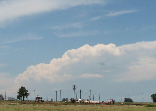
Digital Camera Photography
The following photographs were taken looking towards the northwest from the CSU-CHILL radar site during the early afternoon hours on 2 July 2009. The camera was adjusted to take a picture at 2 minute intervals. The range to the cumulonimbus cloud cluster is ~90 km.
|
|
||
|
RHI Scan Data


