Selected dual polarization observations in a supercell thunderstorm: 8 June 2012
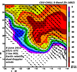
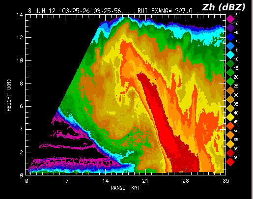
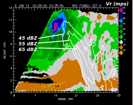
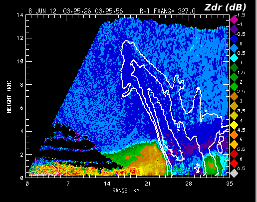
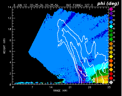
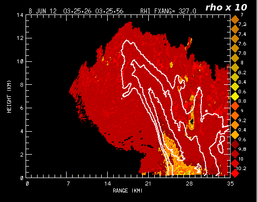
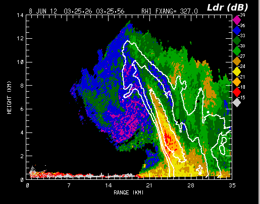
Horizontal wind field synthesized from coordinated CSU-CHILL and Pawnee radar volume scans done during the NSF-sponsored DC3 project. Plots of the dual-polarization data collected ~5 minutes later in an RHI scan through the low level inflow and hail core areas have been assembled.
Introduction
During operations for the DC3 field project on 7 June, 2012 (local date), a supercell thunderstorm developed in the western dual Doppler lobe formed by the CSU-CHILL and Pawnee radars. In synchronization with the Pawnee radar, CSU-CHILL began a volume scan at 0324 UTC on the 8th. This volume was interrupted after 4 sweeps to execute a series of RHI sweeps through the approaching storm. The following plot shows the dual Doppler-derived horizontal wind field at 2.75 km MSL based on the 0324 UTC volume data. (The NCAR SPRINT program was used to interpolate the data from the individual radars to a common Cartesian grid; the synthesis of the horizontal wind field components was done using CEDRIC.) Since the CHILL did not execute a full volume scan, the color-filled reflectivity field was generated from the Pawnee radar data. The low level maximized in the vicinity of the reflectivity "notch" adjacent to the mesocyclone circulation.

