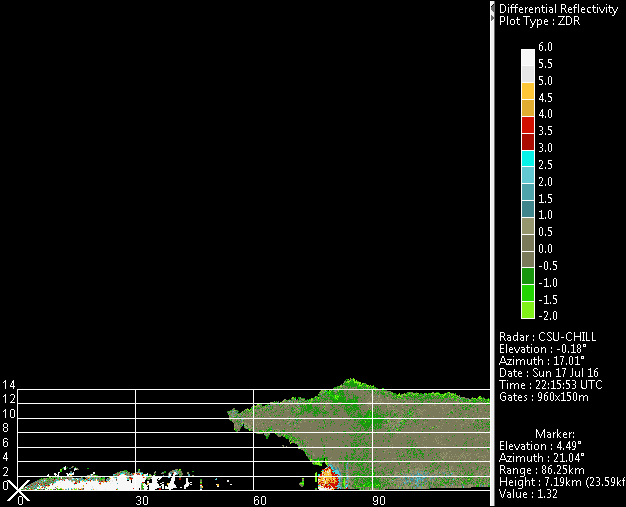
WXlog/20160717 BWER Large Hail
From CSU-CHILL
Projects
S. van den Heever CSU-Ex 20 hr
Data Recording Period
17 July 2016 2129:33 UTC to
18 July 2017 0209:31 UTC
X-band data not available
Summary
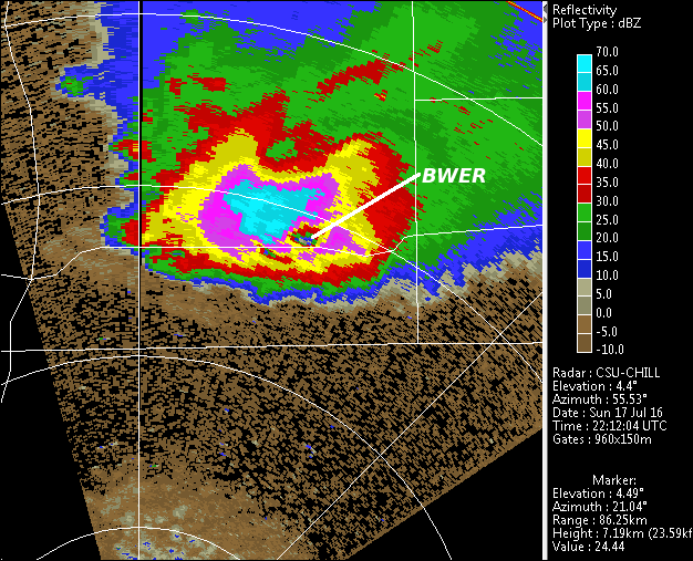
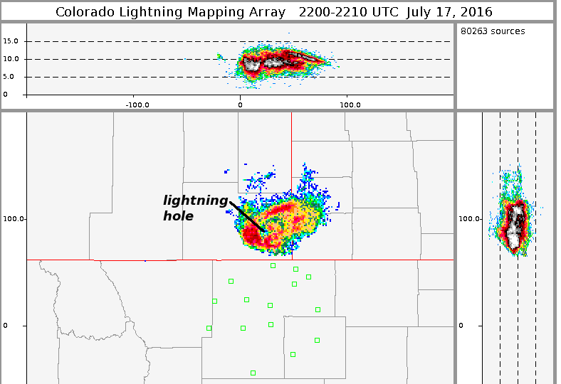
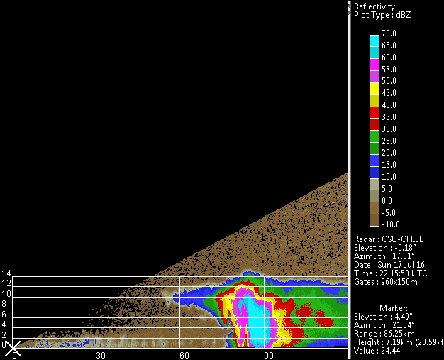
Mobile platform groups intercepted an isolated severe thunderstorm in southeastern Wyoming. As this storm crossed into Colorado, it generated a cold outflow boundary that eventually crossed the CHILL radar site. SPC hail reports include 2.75 inch diameter 6 NE of Carpenter WY at 2203 UTC. The mid-level reflectivity structure contained a well-defined Bounder Weak Echo Region (BWER) associated with the main updraft. Data from the Northern Colorado Lightning Mapping Array (LMA) had a local minimum in discharge detections in the vicinity of the BWER.
