WXlog/20070224 Blizzard
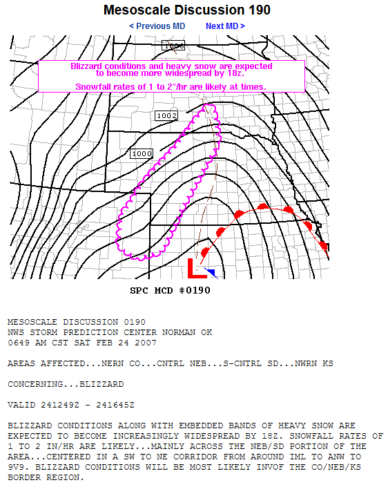
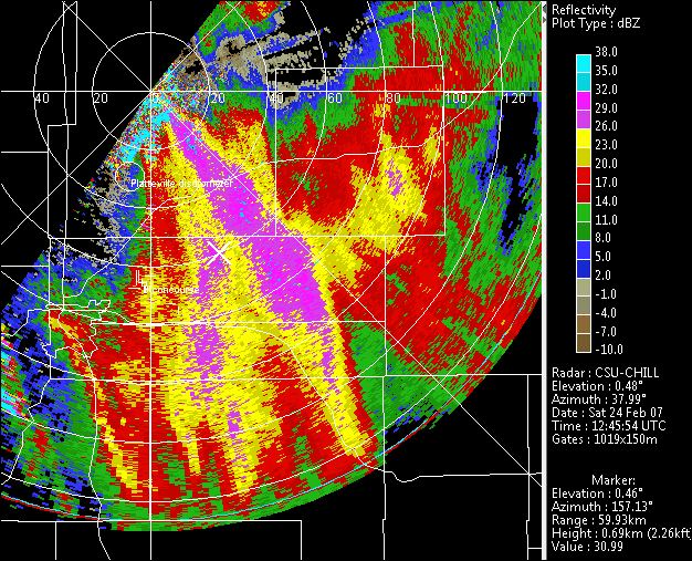
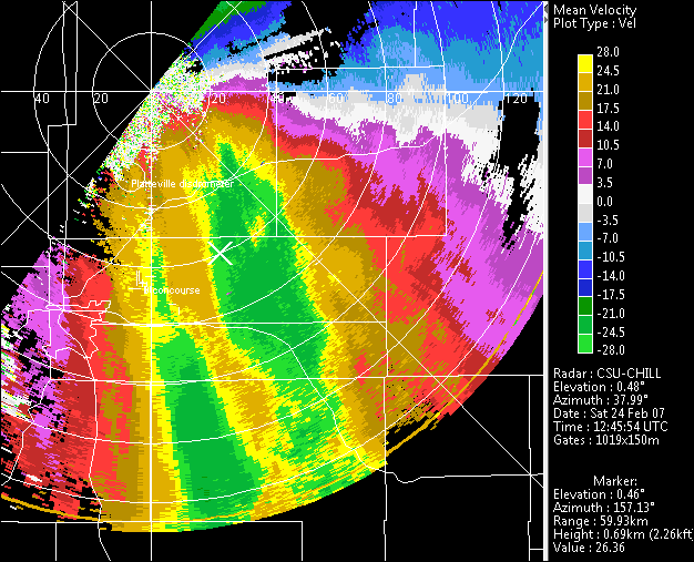
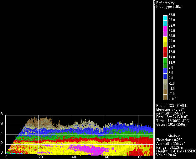
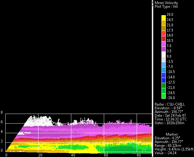
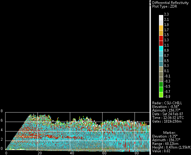
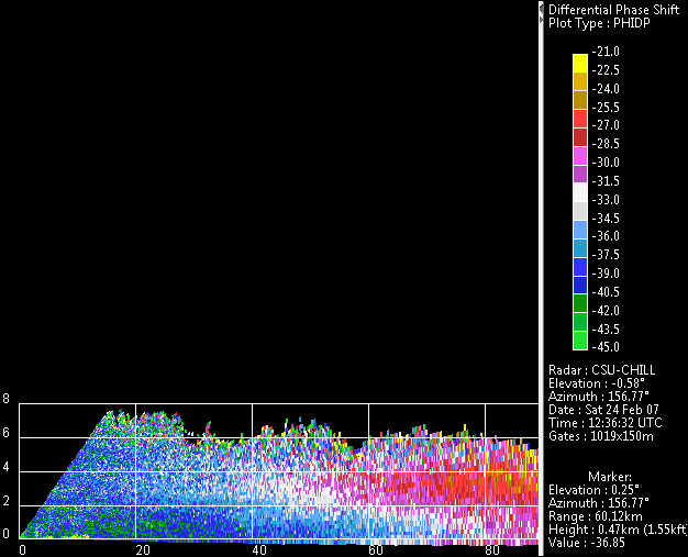
An intense surface low pressure area was located near Dodge City Kansas at 12 UTC on 24 February 2007. The strong northerly surface winds and "warp around" snow behind the surface system were affecting northeastern Colorado at the time of the CHILL data shown below. The greater Denver area experienced wind gusts in excess of 50 MPH and visibilities of 1/2 statute mile. The extensive folded outbound radial velocities in the low elevation angle PPI scans attest to the high wind speeds. The RHI scans on an azimuth of 157 degrees (cursor azimuth in the PPI images) show the increase of reflectivity towards the surface due to the aggregating snow particles. The enhanced differential propagation phase shift layer at approximately 3 km AGL indicates the dendritic growth zone. (Note: The low visibility due to wind-driven heavy snow during this storm caused a multiple vehicle accident on I-70 just east of Denver near the E-470 interchange at approximately 1515 UTC.)
