WXlog/20180501 One Inch Hail (TS)
Projects
A. Morin Front-X development
Data Recording Period
1 May 2018 1748:53 UTC to 2 May 2018 0045:54 UTC
Time series recording (all in VH alternating mode): 1 May 2018 1924:44 UTC to 1 May 2018 2101:31 UTC
Summary


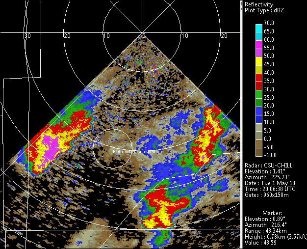
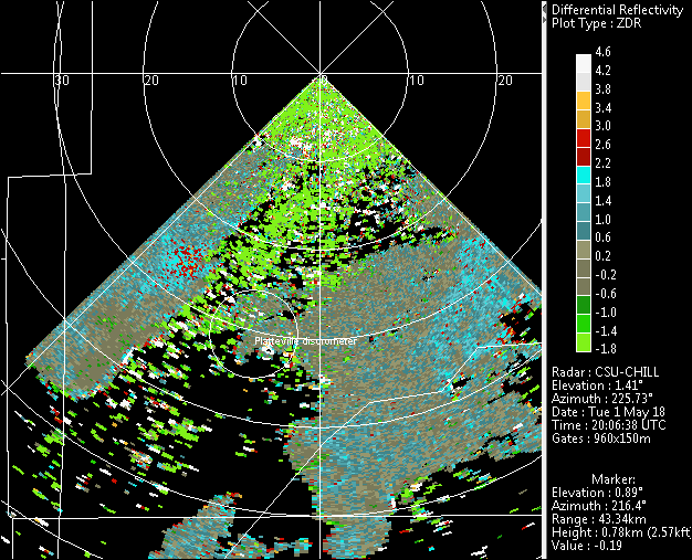
During the ~1911 - 2100 UTC period, a low elevation angle 90 degree wide PPI sector was scanned; the scanning angles were adjusted to overlap the area where Front-X test data was being collected. While these sector scans were in progress, a report of 1 inch diameter hail was received from Firestone at 2004 UTC (see SPC reports). As shown in the above image, the storm responsible for this hail was just inside the Front-X right sector limit. After the echoes moved out of the Front-X area, the CHILL shifted to two sweep (0.5 and 0.9 degree elevation angles) 360 degree scans. A fairly wide area of rain and embedded thunderstorms over the general Morgan County area were observed in these scans. The recording of time series data continued (all in alternating mode.)