WXlog/20160323 Heavy Snow
Projects
B. Notaros MASCRAD year two
Data Recording Period
23 March 2016 0516:18 UTC to
23 March 2016 2233:44 UTC
X-band data is available
Summary
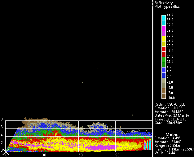
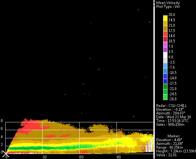
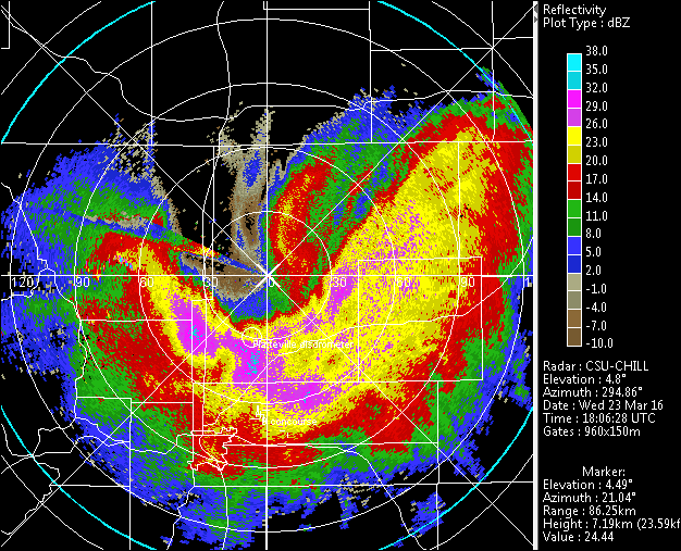
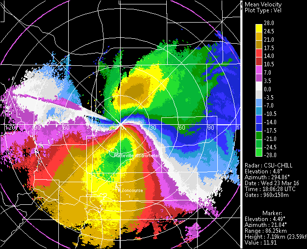
Standard MASCRAD scan sequence started at 0528 UTC as widespread snow was forecast to affect the general CHILL coverage area. After ~0930 UTC, the snow intensity and northerly low level wind flow began to increase. (Note: CSWR operated a DOW radar at Easton during this event). The CHILL site shifted to standby diesel power after a commercial interruptions began around 0530 local time. This power failure also affected the Easton Airport instrumentation site. Data recording there ended around 0930 MDT / 1530 UTC when UPS batteries ran down. CHILL shifted to more general scan coverage as the main echo system moved away to the south. Aliased radial velocities were present in much of this receding precipitation area. The velocity pattern in the RHI scans suggested an up-slope motion pattern as the flow approached the foothills.


